3D Laser Scanning
What we provide
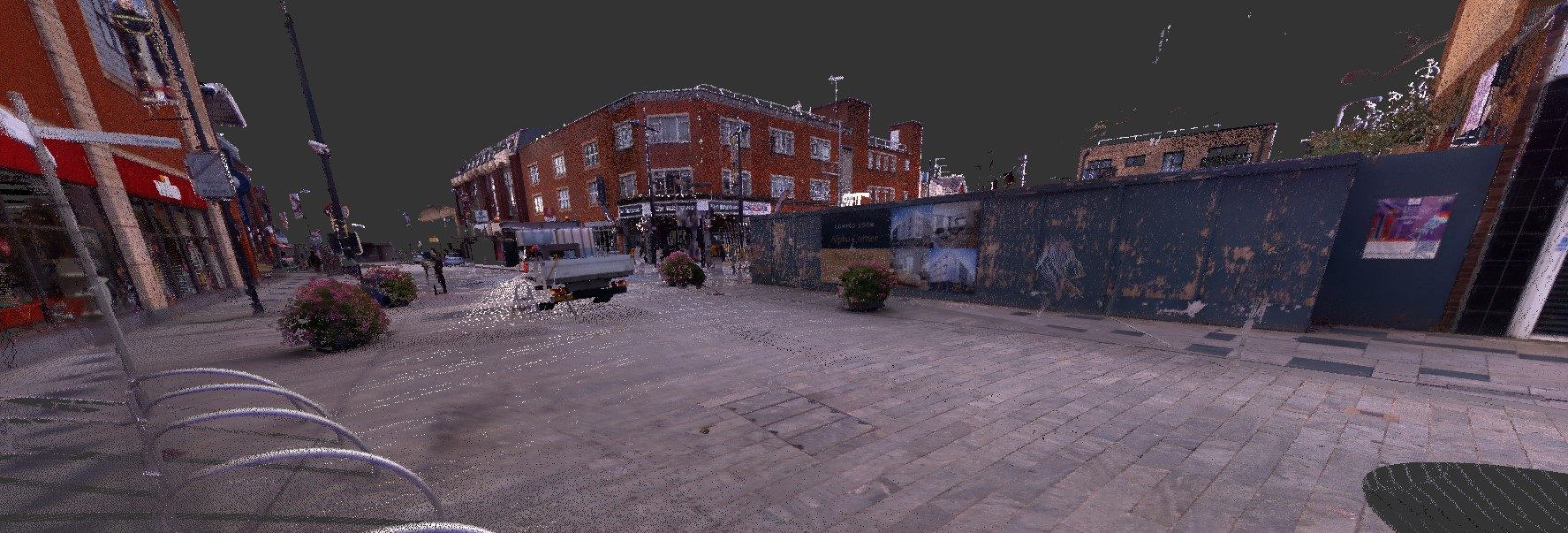
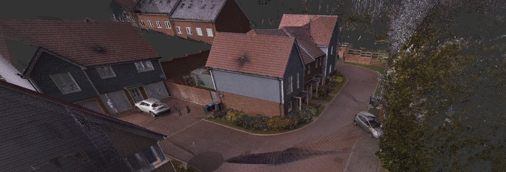
Highly accurate 3D laser scanning service reaching accuracies of 1-3mm. The collection rate of our scanners is 500,000 points per second allowing us to create quality point cloud datasets.

Key Contact
Ben Salvage MRICS C.Build E MCABE
Director
Chartered Building Surveyor
Chartered Building Engineer
07515 441468
ben.salvage@blackacresurveyors.com
Blackacre provide high-precision 3D Geospatial data of buildings, structures and external development sites. Our modern scanning technology and experienced operators means we can capture every detail of a building. Whether its creating point cloud data, or used for Measured Building Surveys for architectural design, have an accurate digital representation of the building is critical. Our scans are also used for building restoration, BIM (Building Information Modeling) and 3D modeling. It also complements our Right to Light and Daylight & Sunlight service as we can keep all the scanning and modeling inhouse.
We make sure our information is consistent and detailed, making it an ideal tool for construction and design professionals. Our team of experts use the latest scanning equipment (Trimble X7) and techniques to and we have experience in this area. We do like to work closely with our clients to understand their specific 3D laser scanning requirements and tailor our services to meet those requirements.
The Process
The scanning process involves taking a series of static 360° scans (stations) and stitching them together accurately. With buildings, this is made easier as there are typically geometric shapes and lines to comfortably position stations together.
Inspection – We usually have a lead-in of 1 week for inspections. Depending on the size of the property and its internal arrangement, this will influence our time on site. If multiple days are required we can offer a slight discount on our fee. So that we can collect all the information we require, we do ask that access is provided to all areas of the building.
After inspection we will take the raw information and start processing the data. This involves the ‘registration’ of the stations recorded earlier, which is stitching together the information as noted above. This can take many hours, but modern software has made it much easier than it used to be.
We will usually issue the point cloud dataset to the client within 24 hours of inspection, however if they are also wanting CAD drawings of the building, these will take longer.
Point Cloud file types available: .tdx, .tzf, .e57, .ptx, .las, .pod, .rcp